
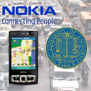
 Nokia in conjunction with UC Berkeley researchers has tested whether the GPS-enabled Nokia N95 is capable of performing its task of navigating through congested roads along with collecting information on road condition, or not. This project is supported by a $186,000 grant from Caltrans.
On a highway near San Francisco, the UC students had to drive 10 miles in a car that had an N95. Approximately hundreds of cars were in motion, to finally know how the real-time traffic information works with the help of GPS feeds. It also wanted to preserve the privacy of the drivers or the owner of the N95 by keeping it anonymous at submission time. It is protected by baking-grade encryption technology.
With the software, users can notice that the GPS feeds are disabled to associate the data from an individual device. Later, it amalgamates with the general system of traffic data.
Quinn Jacobson, Research Leader at Nokia research Center, Palo Alto, stated, “Mobile device users control the service. If an individual does not want their device to transmit position data, they turn off the feed from their GPS.”
He also mentioned that the integration of traffic information with functions like calendar and online timetables means that one day the mobile device could perhaps act as a personal travel planner.
According to Director Thomas West, director, UC Berkeley’s California Center for Innovative Transportation, “There are mobile device-based systems out there that can collect data in a variety of ways, such as measuring signal strength from towers and triangulating position, but to our knowledge, this is the first demonstration of this scale using GPS-enabled mobile devices to provide traffic related data such as travel times, and with a deliberate focus on critical deployment factors like bandwidth costs and personal privacy issues.â€
Researchers from the University of California explained that below 5 percent of drivers have to contribute location data for the system to work effectively on any road.


